// HACKER NEWS — CYBERSECURITY
What is the size of Yemen? (2024)
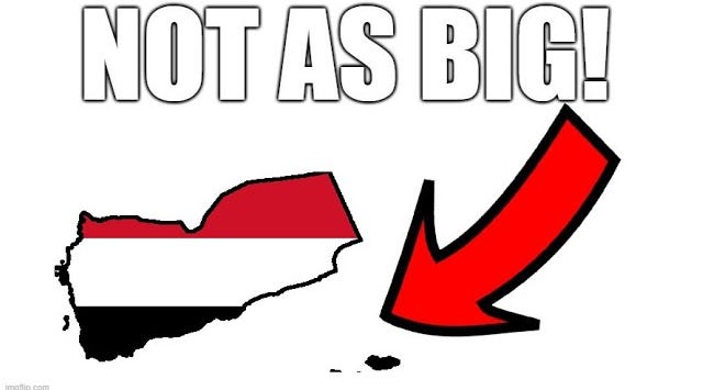
Have you ever asked yourself, “What is the size of Yemen?” Yeah, me neither. At least, not until I received this peculiar comment under my video.
I became intrigued, so I googled the size of Yemen, and voila, he wasn't lying. 555,000 sq km – as the first Google response with the same number used by Wikipedia. I wanted to see what went wrong, if this person was right or not, so I tried replicating the borders by drawing them on Google Maps. And…. I arrived at 456,000 km2.
I included all the islands, including Socotra, to ensure I didn't miss anything. There was no possibility of some small border error – the missing area was the size of a quarter of the country.
So how did the 555 claim originate? With the help of Google Books, I managed to find the oldest mention possible:
This is a statistical yearbook published by the Central Statistical Office of Yemen in 1991, the first one after the unification of the country. When I read the paragraph carefully, I noticed one slight problem. Yemen does not stretch into the 20th North latitude. In fact, the northernmost point of Yemen is exactly at the 19th altitude, as per the border agreement with Saudi Arabia.
Before 2000, the border of Yemen with Saudi Arabia was not clearly demarcated. So, it’s quite possible that some official drew the northern border up to the 20th altitude for propaganda purposes to make the country as big as possible. When I plugged the new borders into Google, my assumption seemed to have worked out.And yes, this area includes the Rub-Al-Khali desert despite what the text says.
"Well, it's a case of Wikipedia using bad sources – a very common occurrence indeed. Surely, other sources must have gotten it right?" So I looked into the most reliable source: the CIA World Factbook, which claimed that the size of Yemen is 527,968 km2. The same number can be found in the World Bank database, the United Nations website, as well as an old geography book that I found in my closet. But it still diverges from the Google Maps number. Why? I delved into previous editions of the CIA World Factbook and found the earliest editions where the number appeared – 1991, exactly a year after the unification of Yemen happened.
I looked into previous editions and found separate entries for North and South Yemen – with the first one being 195,000 km2, and the second one being 332,968 km2. Both numbers were summed up to form the total size of United Yemen. But were they correct? I plugged the borders used in the textbook into Google Earth, and to my surprise, I found out that none of them were correct – North Yemen only had 136,000 km2, and South Yemen was only 288,000 km2. There was no possibility of some minor border or rounding error. They were both wildly off. What was happening here?
I started with North Yemen. I was looking for the earliest mention of the number 195,000 sq km2 in relation to North Yemen. And… after a lot of digging, I found it – the 1964 edition of the Statesman Yearbook described it as 75,000 sq. miles (195,000 sq. km). This gave me a hint to search for the area in square miles. After a long search with the help of Google Books, I found the earliest mention.
The 1904 edition of the New International Encyclopedia described the size of the Yemeni Vilayet, a province of the Ottoman Empire. When I plugged its border into Google Earth, it fit perfectly into 195,000 km2. Despite the fact that independent North Yemen was half the size of the vilayet, every book until 1990 continued to show its size from the 1904 source, repeating it without any fact-checking! The number has appeared on every single mention of North Yemen I have found online, despite being based on a completely different entity..